Sahalie Falls
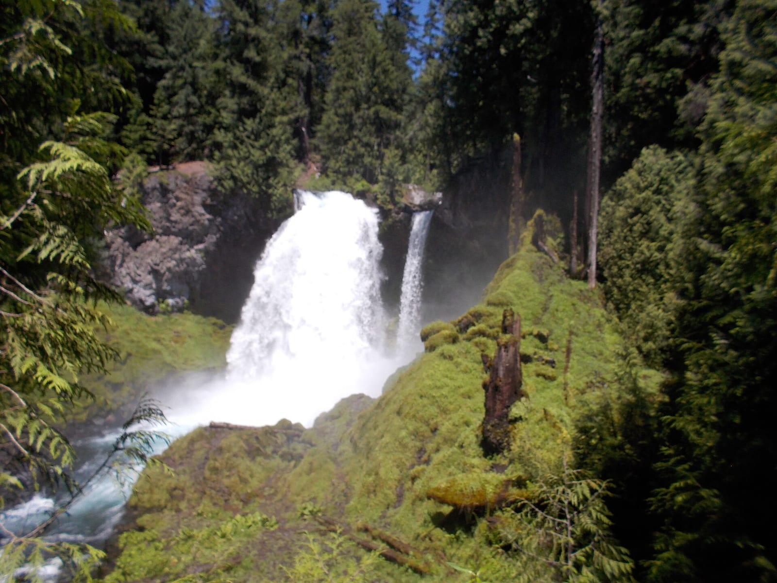
- Height
- 73 ft
- Hike
- 0.1 mi each way
- Road
- Paved
- Permit
- Not required
Sahalie Falls flows year-round. Sahalie Falls is a 73 ft waterfall on McKenzie River in Linn County, Oregon. Reaching it is a 0.1 mi hike each way. See every spot on the McKenzie River.
01
The falls
| Height | 73 ft |
|---|---|
| Flows | year-round |
| Flow note | About 73 ft plunge on the McKenzie River; year-round spring-fed flow. |
02
Access
| Hike | 0.1 mi each way |
|---|---|
| Road | Paved |
| Parking | Sahalie Falls viewpoint parking along Oregon Route 126. |
| Reservation or permit | Not required |
| Wheelchair access | Short paved access to viewpoint railing. |
| Managed by | USDA Forest Service (Willamette National Forest) |
03
Common questions
Common questions
How tall is Sahalie Falls?
Sahalie Falls drops about 73 ft.
How long is the hike to Sahalie Falls?
It's a 0.1 mi hike each way. The road in is paved. Parking: Sahalie Falls viewpoint parking along Oregon Route 126.
Do you need a reservation for Sahalie Falls?
No reservation or permit is required.
When is Sahalie Falls flowing?
It flows year-round. About 73 ft plunge on the McKenzie River; year-round spring-fed flow.
04
Nearby
Camping nearby
Public land
Sahalie Falls is inside Willamette National Forest .
Just outside: Mount Washington Wilderness (0.7 mi) .
Sources
2
- https://en.wikipedia.org/wiki/Sahalie_Falls (accessed September 28, 2026; backs waterfall.heightFt / waterbodyName / ephemeral, access.hikeDistanceMi / parking / wheelchairAccess, manager, access.permitRequired, access.roadSurface)
- https://www.waterfallsnorthwest.com/index.php/waterfall/Sahalie-Falls-4269 (accessed September 28, 2026; backs waterfall.flowMonths / flowNote)