Proxy Falls
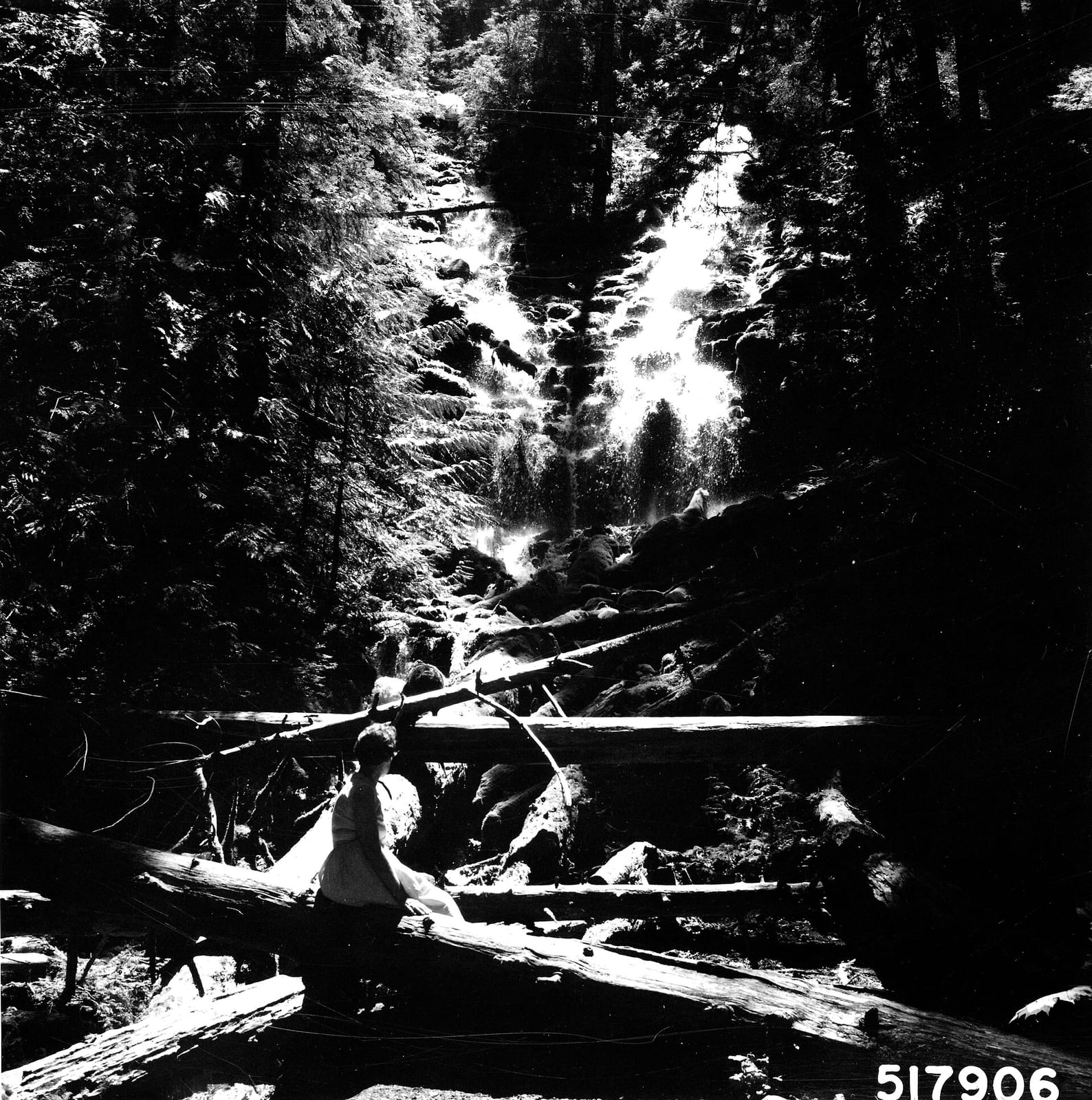
- Height
- 226 ft
- Hike
- 1.6 mi round trip
- Road
- Paved
- Permit
- Not required
- Dogs
- Allowed
Proxy Falls drops about 226 ft on Proxy Creek in Lane County, Oregon. Reaching it is a 1.6 mi hike round trip.
The falls
| Height | 226 ft |
|---|---|
| Flow note | Upper Proxy Falls about 226 ft; water sinks into porous lava near the base. |
Access
| Hike | 1.6 mi round trip |
|---|---|
| Road | Paved |
| Road note | OR-242 (McKenzie Pass) typically closes in winter; check Willamette NF road status. |
| Parking | Proxy Falls Trailhead parking along Oregon Highway 242. |
| Fee | Day use $5 per vehicle at Proxy Falls Trailhead, or valid Northwest Forest Pass / interagency pass. |
| Hours | Day use only, 6:00 a.m. to 10:00 p.m. when Highway 242 is open. |
| Reservation or permit | Not required |
| Seasonal closure | Highway 242 seasonal winter closure common. |
| Managed by | USDA Forest Service (Willamette National Forest) |
Rules
| Dogs | Allowed |
|---|
Common questions
Common questions
Is Proxy Falls open?
Seasonal closure: Highway 242 seasonal winter closure common. Hours: Day use only, 6:00 a.m. to 10:00 p.m. when Highway 242 is open.
How tall is Proxy Falls?
Proxy Falls drops about 226 ft.
How long is the hike to Proxy Falls?
It's a 1.6 mi hike round trip. The road in is paved. OR-242 (McKenzie Pass) typically closes in winter; check Willamette NF road status. Parking: Proxy Falls Trailhead parking along Oregon Highway 242.
Do you need a reservation for Proxy Falls?
No reservation or permit is required.
Is there a fee at Proxy Falls?
The fee is Day use $5 per vehicle at Proxy Falls Trailhead, or valid Northwest Forest Pass / interagency pass.
When is Proxy Falls flowing?
Upper Proxy Falls about 226 ft; water sinks into porous lava near the base.
What are the rules at Proxy Falls?
Dogs are allowed.
Nearby
Camping nearby
Public land
Proxy Falls is inside Three Sisters Wilderness and Willamette National Forest .
Sources
2
- https://en.wikipedia.org/wiki/Proxy_Falls (accessed September 28, 2026; backs waterfall.heightFt / waterbodyName, access.hikeDistanceMi / parking / seasonalClosure, manager, waterfall.ephemeral / flowNote, access.roadNote OR-242, access.permitRequired)
- https://www.fs.usda.gov/r06/willamette/recreation/proxy-falls-trailhead (accessed September 30, 2026; backs access.fee / access.hours / rules.dogs)