Ozone Falls
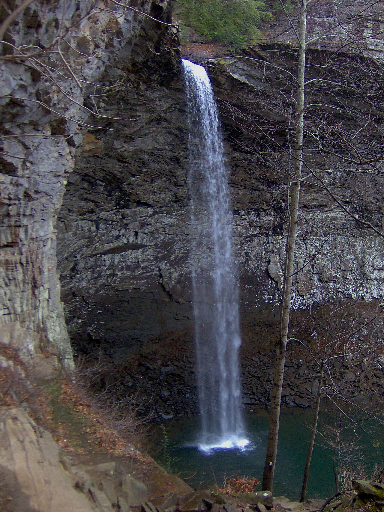
- Height
- 110 ft
- Road
- Paved
- Permit
- Not required
Ozone Falls drops about 110 ft on Fall Creek in Cumberland County, Tennessee. See every spot on Fall Creek.
Closures and warnings
110-foot plunge into a hemlock-lined gorge on the Cumberland Plateau; stay on established trails and respect cliff edges above the plunge pool. As of September 30, 2026.
The falls
| Height | 110 ft |
|---|---|
| Flow note | 110-foot plunge on Fall Creek into a gorge; short trails reach the overhang, plunge pool, and cliffs above. Cumberland Trail travels through the natural area. |
| Water clarity | Gorge holds hemlock, yellow birch, basswood, and magnolia stands per Tennessee Encyclopedia. |
|---|
- Plunge pool : Pool below the 110-foot plunge; gorge trails reach the overhang and pool.
Access
| Road | Paved |
|---|---|
| Road note | Trailhead along US Route 70; Fall Creek passes under US-70 before the falls a few hundred meters south. |
| Parking | Trailhead parking along US-70 at Ozone Falls State Natural Area, near the community of Ozone / Crab Orchard, Cumberland County. |
| Reservation or permit | Not required |
| Managed by | TDEC (Ozone Falls State Natural Area); Cumberland Mountain State Park |
| Note | TDEC state natural area; Cumberland Trail corridor passes through the site per Tennessee State Parks Cumberland Trail materials. |
|---|
Common questions
Common questions
Is Ozone Falls open?
110-foot plunge into a hemlock-lined gorge on the Cumberland Plateau; stay on established trails and respect cliff edges above the plunge pool. As of September 30, 2026.
How tall is Ozone Falls?
Ozone Falls drops about 110 ft.
How do you get to Ozone Falls?
The road in is paved. Trailhead along US Route 70; Fall Creek passes under US-70 before the falls a few hundred meters south. Parking: Trailhead parking along US-70 at Ozone Falls State Natural Area, near the community of Ozone / Crab Orchard, Cumberland County.
Do you need a reservation for Ozone Falls?
No reservation or permit is required.
When is Ozone Falls flowing?
110-foot plunge on Fall Creek into a gorge; short trails reach the overhang, plunge pool, and cliffs above. Cumberland Trail travels through the natural area.
Nearby
Nearest camping
Public land
Ozone Falls is inside Justin P. Wilson Cumberland Trail State Park and Ozone Falls State Natural Area .
Sources
4
- https://en.wikipedia.org/wiki/Ozone_Falls_State_Natural_Area (accessed September 28, 2026; backs manager, waterfall.heightFt, waterfall.flowNote, waterbodyName, access.roadNote / access.parking, access.roadSurface)
- https://tnstateparks.com/parks/about/cumberland-trail (accessed September 30, 2026; backs manager, access.amenities.note, waterfall.flowNote Cumberland Trail through site)
- https://tennesseeencyclopedia.net/entries/ozone-falls-state-natural-area/ (accessed September 30, 2026; backs waterfall.heightFt, hazardNote / waterfall.flowNote, manager TDEC corroboration, access.permitRequired false, beaches[0] plunge pool / swimmerNotes.waterClarityNote)
- https://tnlandforms.us/landforms/falls.php?n=Ozone (accessed September 28, 2026; backs waterfall.heightFt)
More: Tennessee waterfalls · waterfalls near Nashville · waterfalls near Chattanooga · waterfalls near Pigeon Forge