Laurel Falls
- Height
- 80 ft
- Hike
- 2.6 mi round trip
- Road
- Paved
- Permit
- Not required
- Dogs
- Not allowed
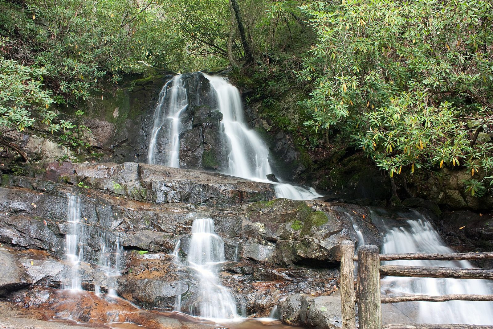
Laurel Falls drops about 80 ft in Sevier County, Tennessee. Reaching it is a 2.6 mi hike round trip.
Closures and warnings
Trail closed for rehabilitation through at least 2027. When open, NPS does not recommend water recreation in the park; drowning is a leading cause of death. As of September 28, 2026.
The falls
| Height | 80 ft |
|---|---|
| Flow note | 80-foot waterfall reached by a popular paved trail through mountain laurel and rhododendron. |
Access
| Hike | 2.6 mi round trip |
|---|---|
| Road | Paved |
| Parking | Laurel Falls Trailhead on Little River Road about 3 miles west of Sugarlands Visitor Center; lots often full. NPS suggests a shuttle backup plan. |
| When it fills | Expect crowds and full parking; consider a shuttle. |
| Fee | Parking tag: $5 daily, $15 weekly, $40 annual (over 15 min). America the Beautiful passes do not replace it. |
| Reservation or permit | Not required |
| Seasonal closure | Laurel Falls Trail closed as of Jan 6, 2025 for rehabilitation; reopening pushed to sometime in 2027 after geotechnical delays. |
| Wheelchair access | Some sections of the paved trail have cracked, uneven pavement (when open). |
| Managed by | National Park Service (Great Smoky Mountains National Park) |
| Note | Nearest restroom at Sugarlands Visitor Center. |
|---|
Rules
| Dogs | Not allowed |
|---|
Common questions
Common questions
Is Laurel Falls open?
Trail closed for rehabilitation through at least 2027. When open, NPS does not recommend water recreation in the park; drowning is a leading cause of death. As of September 28, 2026. Seasonal closure: Laurel Falls Trail closed as of Jan 6, 2025 for rehabilitation; reopening pushed to sometime in 2027 after geotechnical delays.
How tall is Laurel Falls?
Laurel Falls drops about 80 ft.
How long is the hike to Laurel Falls?
It's a 2.6 mi hike round trip. The road in is paved. Parking: Laurel Falls Trailhead on Little River Road about 3 miles west of Sugarlands Visitor Center; lots often full. NPS suggests a shuttle backup plan. Expect crowds and full parking; consider a shuttle.
Do you need a reservation for Laurel Falls?
No reservation or permit is required.
Is there a fee at Laurel Falls?
The fee is Parking tag: $5 daily, $15 weekly, $40 annual (over 15 min). America the Beautiful passes do not replace it.
When is Laurel Falls flowing?
80-foot waterfall reached by a popular paved trail through mountain laurel and rhododendron.
What are the rules at Laurel Falls?
Dogs are not allowed.
Nearby
Camping nearby
Public land
Laurel Falls is inside Great Smoky Mountains National Park .
Sources
4
- https://www.nps.gov/thingstodo/hike-to-laurel-falls.htm (accessed September 28, 2026; backs manager / access.hikeDistanceMi, access.hikeDistanceBasis / access.seasonalClosure, hazardNote / waterfall.ephemeral false / flowNote)
- https://www.nps.gov/grsm/planyourvisit/conditions.htm (accessed September 28, 2026; backs access.seasonalClosure)
- https://www.nps.gov/grsm/planyourvisit/fees.htm (accessed September 28, 2026; backs access.fee, access.permitRequired)
- https://www.nps.gov/grsm/planyourvisit/waterfalls.htm (accessed September 28, 2026; backs hazardNote)
More: Tennessee waterfalls · waterfalls near Chattanooga · waterfalls near Pigeon Forge