Spoonauger Falls
- Height
- 50 ft
- Hike
- 0.45 mi each way
- Road
- Gravel
- Permit
- Not required
- Dogs
- Allowed
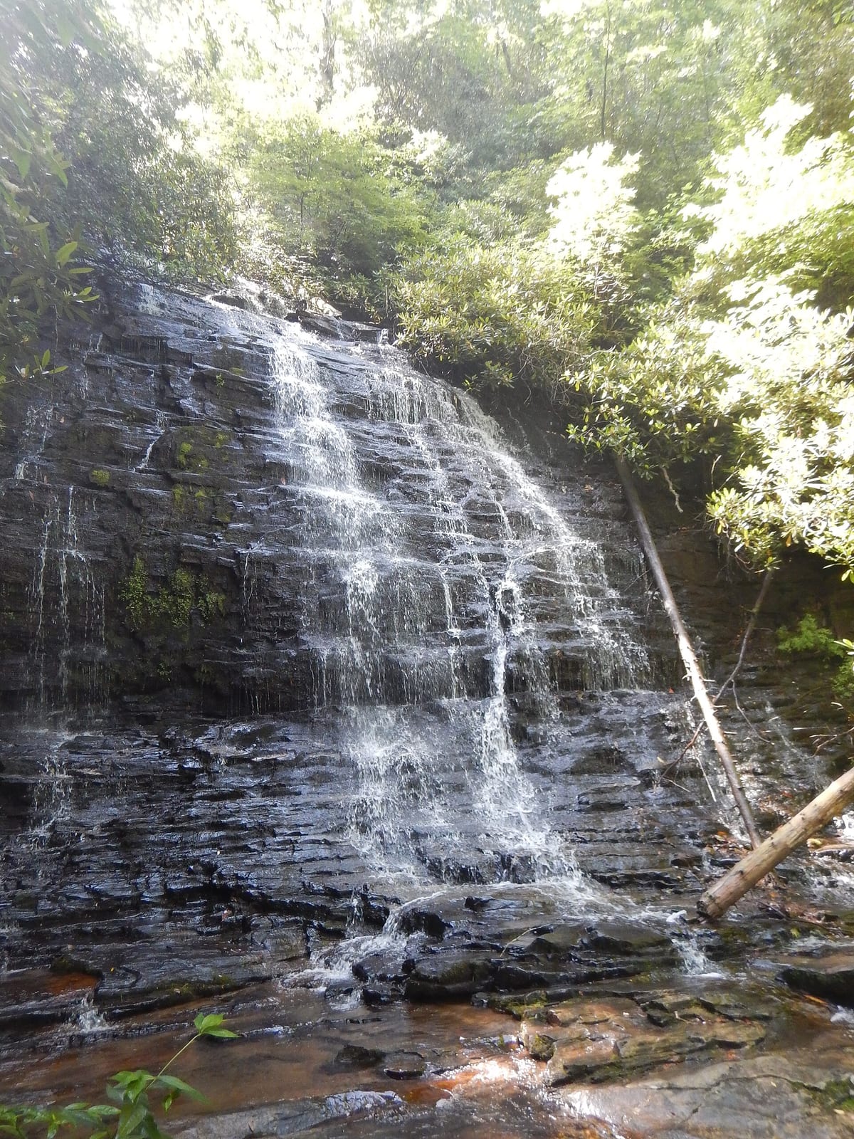
Spoonauger Falls drops about 50 ft on Spoonauger Creek in Oconee County, South Carolina. Reaching it is a 0.45 mi hike each way.
Closures and warnings
USFS: waterfalls can be very dangerous; do not climb on the rocks surrounding the falls. Wet leaves, logs, rocks, and steps can be slippery. One creek crossing on the approach can be difficult. Cellular service is not available at the trailhead or along the trail. As of September 30, 2026.
The falls
| Height | 50 ft |
|---|---|
| Flow note | 50-foot stepped sheet cascade on Spoonauger Creek in the Chattooga River Watershed; USFS lists Seasons of Use as all year. A shorter lower falls (about 10 ft) is visible on the approach. |
Access
| Hike | 0.45 mi each way |
|---|---|
| Road | Gravel |
| Road note | From Walhalla, SC 28 to SC 107, then left on Burrells Ford Road (FS 708; paved for the first 0.3 mi). Drive about three miles to Chattooga Trail parking on the left (bulletin board). |
| Parking | Minimal parking along Burrells Ford Road at the Chattooga Trail bulletin board; additional parking at the Burrells Ford parking lot. |
| Reservation or permit | Not required |
| Managed by | USDA Forest Service (Sumter National Forest / Andrew Pickens Ranger District) |
| Drinking water | No |
|---|---|
| Note | USFS: potable water is not available at this site; restroom info is not listed for the falls trailhead. |
Rules
| Dogs | Allowed |
|---|
Common questions
Common questions
Is Spoonauger Falls open?
USFS: waterfalls can be very dangerous; do not climb on the rocks surrounding the falls. Wet leaves, logs, rocks, and steps can be slippery. One creek crossing on the approach can be difficult. Cellular service is not available at the trailhead or along the trail. As of September 30, 2026.
How tall is Spoonauger Falls?
Spoonauger Falls drops about 50 ft.
How long is the hike to Spoonauger Falls?
It's a 0.45 mi hike each way. The road in is gravel. From Walhalla, SC 28 to SC 107, then left on Burrells Ford Road (FS 708; paved for the first 0.3 mi). Drive about three miles to Chattooga Trail parking on the left (bulletin board). Parking: Minimal parking along Burrells Ford Road at the Chattooga Trail bulletin board; additional parking at the Burrells Ford parking lot.
Do you need a reservation for Spoonauger Falls?
No reservation or permit is required.
When is Spoonauger Falls flowing?
50-foot stepped sheet cascade on Spoonauger Creek in the Chattooga River Watershed; USFS lists Seasons of Use as all year. A shorter lower falls (about 10 ft) is visible on the approach.
What facilities are at Spoonauger Falls?
No drinking water. USFS: potable water is not available at this site; restroom info is not listed for the falls trailhead.
What are the rules at Spoonauger Falls?
Dogs are allowed.
Nearby
Camping nearby
Public land
Spoonauger Falls is inside Ellicott Rock Wilderness and Francis Marion and Sumter National Forests .
Just outside: Ellicott Rock Wilderness (0.1 mi) , Chattahoochee-Oconee National Forests (0.1 mi) .
Sources
2
- https://www.fs.usda.gov/r08/francismarionsumter/recreation/spoonauger-falls (accessed September 30, 2026; backs manager / waterfall.heightFt, access.roadSurface / access.permitRequired)
- https://www.sctrails.net/trails/trail/spoonauger-falls (accessed September 30, 2026; backs waterbodyName / waterfall.heightFt corroboration / access.parking / access.roadNote)