Cedar Falls
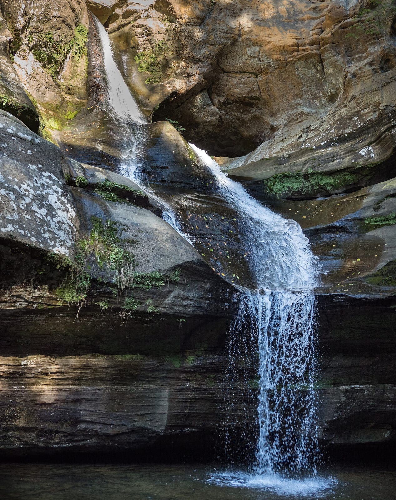
- Height
- 50 ft
- Hike
- 1 mi round trip
- Road
- Paved
Cedar Falls drops about 50 ft on Queer Creek in Hocking County, Ohio. Reaching it is a 1 mi hike round trip. See every spot on Queer Creek.
The falls
| Height | 50 ft |
|---|---|
| Flow note | ODNR calls Cedar Falls the park's heaviest flowing waterfall; cascade on Queer Creek in a hemlock gorge (often cited about 50 feet total drop). |
Access
| Hike | 1 mi round trip |
|---|---|
| Road | Paved |
| Parking | Cedar Falls main parking lot off State Route 374 (Trailhead H); picnic area and restrooms at the lot. |
| Hours | Trails and picnic areas open half hour before sunrise to half hour after sunset (OAC 1501:3-46-07). |
| Managed by | Ohio Department of Natural Resources (Hocking Hills State Park) |
| Restrooms | Yes |
|---|---|
| Picnic sites | Yes |
| Note | Picnic tables, grills, and latrines at the Cedar Falls trailhead parking area; Democracy Steps descend toward the falls. |
Common questions
Common questions
Is Cedar Falls open?
Hours: Trails and picnic areas open half hour before sunrise to half hour after sunset (OAC 1501:3-46-07).
How tall is Cedar Falls?
Cedar Falls drops about 50 ft.
How long is the hike to Cedar Falls?
It's a 1 mi hike round trip. The road in is paved. Parking: Cedar Falls main parking lot off State Route 374 (Trailhead H); picnic area and restrooms at the lot.
When is Cedar Falls flowing?
ODNR calls Cedar Falls the park's heaviest flowing waterfall; cascade on Queer Creek in a hemlock gorge (often cited about 50 feet total drop).
What facilities are at Cedar Falls?
Restrooms and picnic sites. Picnic tables, grills, and latrines at the Cedar Falls trailhead parking area; Democracy Steps descend toward the falls.
Nearby
Fishing nearby
Public land
Cedar Falls is inside Hocking Hills State Park .
Sources
4
- https://ohiodnr.gov/go-and-do/plan-a-visit/find-a-property/hocking-hills-state-park (accessed September 30, 2026; backs manager / access.hikeDistanceMi, access.amenities picnic / Democracy Steps, access.hours)
- https://ohiodnr.gov/home/news-and-events/all-events/parks-wc-events/SE-Ohio/CedarFallsHikeHockingHills-5-19-25 (accessed September 28, 2026; backs access.hikeDistanceBasis / heaviest flowing / Trailhead H / steps, waterfall.ephemeral false / flowNote)
- https://ohiodnr.gov/go-and-do/see-the-sights/historic-places/new-deal-era-sites/cedar-falls-trails-steps (accessed September 28, 2026; backs access.parking SR-374)
- https://gohocking.com/location/cedar-falls/ (accessed September 28, 2026; backs waterfall.heightFt / waterbodyName Queer Creek)
More: Ohio waterfalls