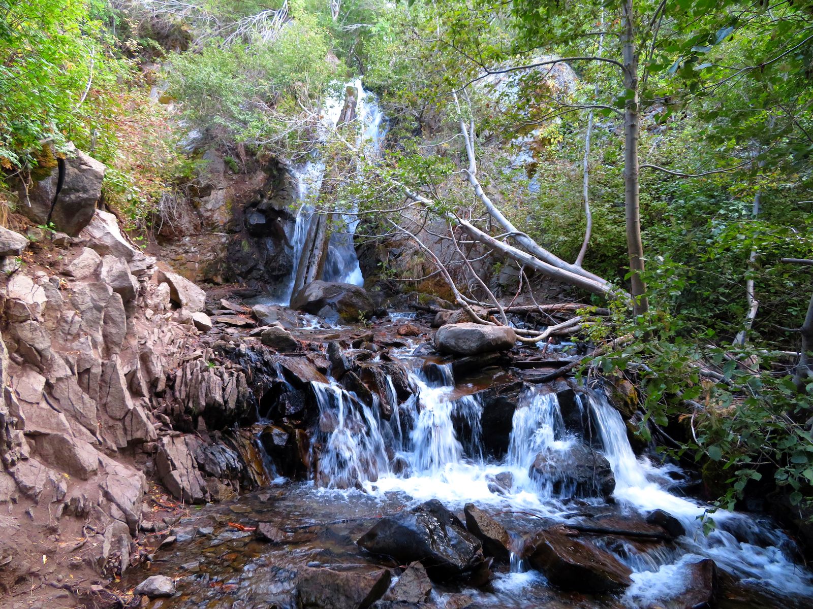
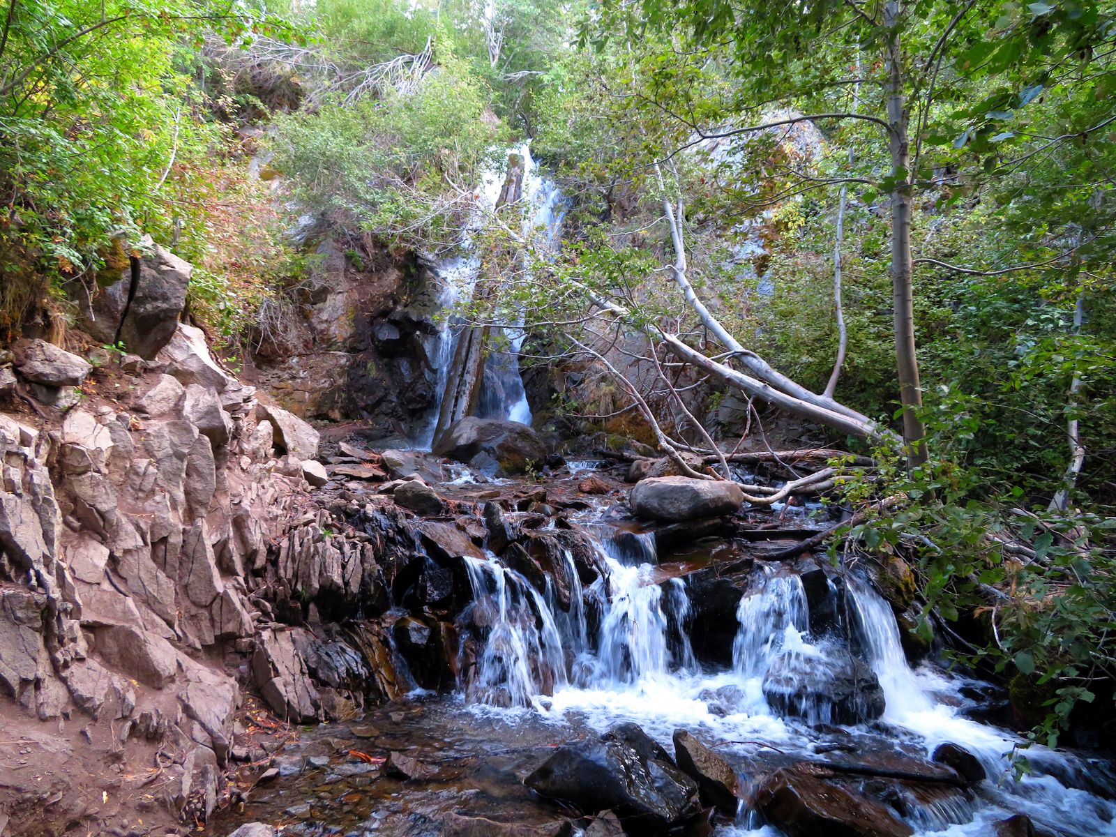
Hunter Creek Falls
- Hike
- 3.04 mi each way
- Elevation gain
- 1200 ft
Hunter Creek Falls is a waterfall on Hunter Creek in Washoe County, Nevada. Reaching it is a 3.04 mi hike each way with 1200 ft of elevation gain. Flow season is not on file yet.
Closures and warnings
USFS: Mt. Rose Wilderness restrictions prohibit motorized vehicles and equipment, bicycles, and other wheeled or mechanized transport. The trail is rated moderate with about 1,200 ft of gain. As of September 30, 2026.
The falls
| Flow note | USFS says the trail leads to a waterfall at its end but does not publish flow season; expect highest flows after winter snowmelt. |
|---|
Access
| Hike | 3.04 mi each way |
|---|---|
| Elevation gain | 1200 ft |
| Parking | Michael D. Thompson Trailhead off Woodchuck Circle, west Reno: water fountain, picnic table, kiosk and restrooms. |
| Fee | No fee posted on the USFS Hunter Creek Trail page or the Washoe County trailhead page |
| Hours | Trail access when open; Carson Ranger District office Mon.-Fri. 8 a.m.-4:30 p.m. for information (not a gate schedule) |
| Managed by | USDA Forest Service, Humboldt-Toiyabe National Forest (Carson Ranger District), Mt. Rose Wilderness |
Common questions
Common questions
Is Hunter Creek Falls open?
USFS: Mt. Rose Wilderness restrictions prohibit motorized vehicles and equipment, bicycles, and other wheeled or mechanized transport. The trail is rated moderate with about 1,200 ft of gain. As of September 30, 2026. Hours: Trail access when open; Carson Ranger District office Mon.-Fri. 8 a.m.-4:30 p.m. for information (not a gate schedule).
How long is the hike to Hunter Creek Falls?
It's a 3.04 mi hike each way with 1200 ft of elevation gain. Parking: Michael D. Thompson Trailhead off Woodchuck Circle, west Reno: water fountain, picnic table, kiosk and restrooms.
Is there a fee at Hunter Creek Falls?
Yes. No fee posted on the USFS Hunter Creek Trail page or the Washoe County trailhead page.
When is Hunter Creek Falls flowing?
USFS says the trail leads to a waterfall at its end but does not publish flow season; expect highest flows after winter snowmelt.
Photos
Nearby
Camping nearby
Fishing nearby
Public land
Hunter Creek Falls is inside Humboldt-Toiyabe National Forest and Mt. Rose Wilderness .
Sources
3
- https://www.fs.usda.gov/r04/humboldt-toiyabe/recreation/trails/hunter-creek-trail (accessed September 30, 2026; backs manager, access.hikeDistanceMi, access.hikeDistanceBasis, access.elevationGainFt, access.parking, access.fee, access.hours, hazardNote, waterfall.flowNote)
- https://www.washoecounty.gov/parks/trails/trail_directory_pages/south_region/michael_thompson_hunter_creek.php (accessed September 28, 2026; backs manager, waterbodyName, access.parking)
- https://www.openstreetmap.org/way/522710518 (accessed September 28, 2026; backs access.trailhead)
More: Nevada waterfalls