Natural Bridge Falls
- Height
- 100 ft
- Hike
- 0.7 mi round trip
- Elevation gain
- 65 ft
- Road
- Paved
- Permit
- Not required
- Dogs
- Allowed
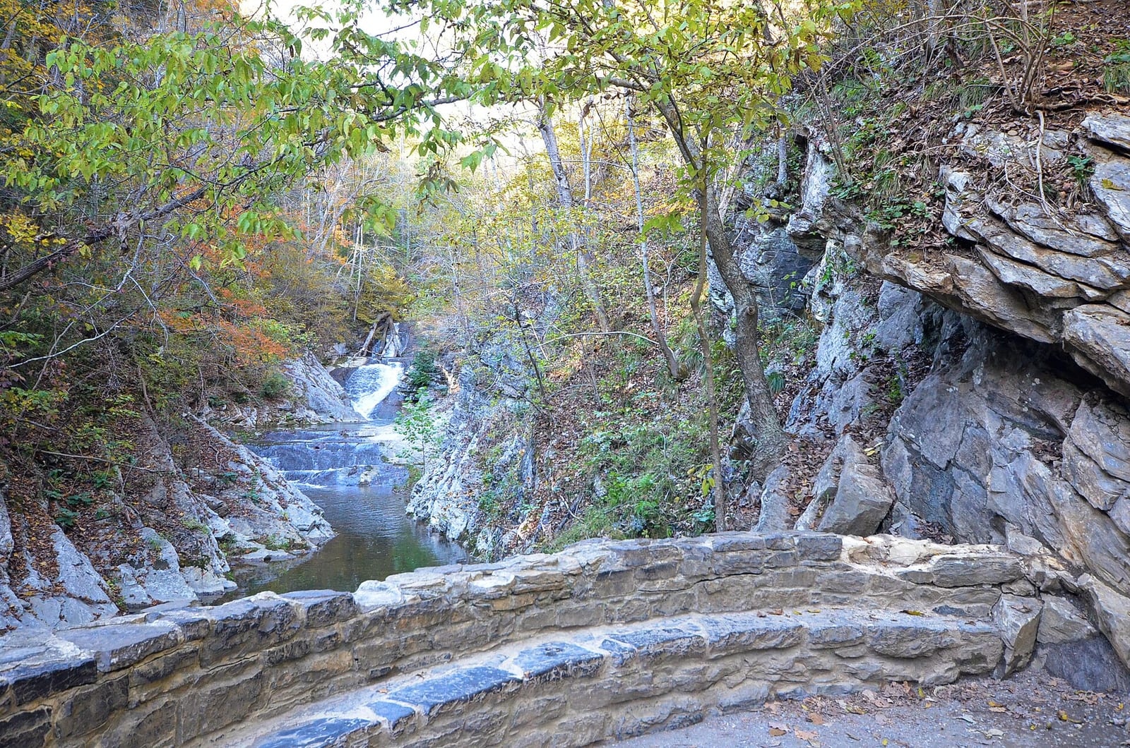
Natural Bridge Falls drops about 100 ft on Boulder River in Park County, Montana. Reaching it is a 0.7 mi hike round trip with 65 ft of elevation gain.
Closures and warnings
The namesake natural rock bridge collapsed in July 1988. Cliffs and wet rock remain hazardous; stay on developed trails and overlooks. As of September 28, 2026.
The falls
| Height | 100 ft |
|---|---|
| Flow note | Boulder River drops about 100 ft over limestone; at low water the river can sink underground upstream and re-emerge from the cliff face. |
| Current | Strong |
|---|
Access
| Hike | 0.7 mi round trip |
|---|---|
| Elevation gain | 65 ft |
| Road | Paved |
| Road note | Secondary Highway 298 (Boulder River Road) about 27 miles south of Big Timber; pavement ends near the falls. |
| Parking | Natural Bridge Falls Picnic Area / day-use lot beside the river. |
| Reservation or permit | Not required |
| Wheelchair access | Accessible paved trails and vault toilets at the day-use site. |
| Managed by | USDA Forest Service (Custer Gallatin National Forest) |
| Restrooms | Yes |
|---|---|
| Showers | No |
| Picnic sites | Yes |
| Note | Picnic tables and interpretive panels on geology; also trailhead for Green Mountain Trail. |
Rules
| Dogs | Allowed |
|---|
Common questions
Common questions
Is Natural Bridge Falls open?
The namesake natural rock bridge collapsed in July 1988. Cliffs and wet rock remain hazardous; stay on developed trails and overlooks. As of September 28, 2026.
How tall is Natural Bridge Falls?
Natural Bridge Falls drops about 100 ft.
Can you swim at Natural Bridge Falls?
A strong current is reported here, use caution.
How long is the hike to Natural Bridge Falls?
It's a 0.7 mi hike round trip with 65 ft of elevation gain. The road in is paved. Secondary Highway 298 (Boulder River Road) about 27 miles south of Big Timber; pavement ends near the falls. Parking: Natural Bridge Falls Picnic Area / day-use lot beside the river.
Do you need a reservation for Natural Bridge Falls?
No reservation or permit is required.
When is Natural Bridge Falls flowing?
Boulder River drops about 100 ft over limestone; at low water the river can sink underground upstream and re-emerge from the cliff face.
What facilities are at Natural Bridge Falls?
Restrooms and picnic sites. No showers. Picnic tables and interpretive panels on geology; also trailhead for Green Mountain Trail.
Nearby
Camping nearby
Public land
Just outside: Custer Gallatin National Forest (under 0.1 mi) .
Sources
3
- https://visitmt.com/listing/natural-bridge-falls-3097 (accessed September 28, 2026; backs manager / waterfall.heightFt / waterbodyName / access.roadNote, access.wheelchairAccess / amenities / dogs, swimmerNotes.current strong river)
- https://www.montanahikes.com/natural-bridge-falls-and-the-boulder-river/ (accessed September 28, 2026; backs hazardNote bridge collapse 1988 / waterfall.flowNote, amenities picnic / interpretive panels)
- https://www.lakequality.org/waterfalls/natural-bridge-falls-mt (accessed September 28, 2026; backs access.hikeDistanceMi / elevationGainFt)
More: Montana waterfalls