Zapata Falls
- Height
- 30 ft
- Hike
- 0.5 mi each way
- Elevation gain
- 400 ft
- Road
- Gravel
- Permit
- Not required
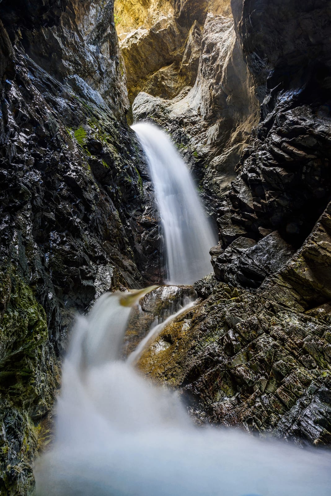
Zapata Falls drops about 30 ft on South Zapata Creek in Alamosa County, Colorado. Reaching it is a 0.5 mi hike each way with 400 ft of elevation gain.
Closures and warnings
Only way to view the falls is to wade upstream into a narrow crevasse. Water is swift and deep in early summer; watch for falling rock. Falls area is on Colorado State Land Board property with their rules. As of September 28, 2026.
The falls
| Height | 30 ft |
|---|---|
| Flow note | About 30 ft cascade in a narrow chasm; freezes into an ice column in winter (BLM). |
| Water type | Waterfall basin |
|---|---|
| Entry | Walk in |
| Current | Strong |
Access
| Hike | 0.5 mi each way |
|---|---|
| Elevation gain | 400 ft |
| Road | Gravel |
| Road note | About 3.5 miles unpaved road from CO-150 to the day-use / campground trailhead. |
| Parking | Day-use parking next to Zapata Falls Campground; trail begins at the day-use area. |
| Reservation or permit | Not required |
| Managed by | Bureau of Land Management (Zapata Falls SRMA / San Luis Valley Field Office) |
Rules
| Camping | Allowed |
|---|
Common questions
Common questions
Is Zapata Falls open?
Only way to view the falls is to wade upstream into a narrow crevasse. Water is swift and deep in early summer; watch for falling rock. Falls area is on Colorado State Land Board property with their rules. As of September 28, 2026.
How tall is Zapata Falls?
Zapata Falls drops about 30 ft.
Can you swim at Zapata Falls?
A strong current is reported here, use caution.
How long is the hike to Zapata Falls?
It's a 0.5 mi hike each way with 400 ft of elevation gain. The road in is gravel. About 3.5 miles unpaved road from CO-150 to the day-use / campground trailhead. Parking: Day-use parking next to Zapata Falls Campground; trail begins at the day-use area.
Do you need a reservation for Zapata Falls?
No reservation or permit is required.
When is Zapata Falls flowing?
About 30 ft cascade in a narrow chasm; freezes into an ice column in winter (BLM).
What are the rules at Zapata Falls?
Camping is allowed.
Nearby
Nearby
Camping nearby
Public land
Just outside: Rio Grande National Forest (0.5 mi) , Sangre de Cristo Wilderness (0.5 mi) .
Sources
4
- https://www.blm.gov/visit/zapata-falls-srma (accessed September 28, 2026; backs manager, waterfall.heightFt, waterfall.flowNote)
- https://www.blm.gov/visit/zapata-falls-campground (accessed September 28, 2026; backs access.hikeDistanceMi / hikeDistanceBasis, access.elevationGainFt, access.roadSurface / roadNote, rules.camping)
- https://www.recreation.gov/camping/campgrounds/261715 (accessed September 28, 2026; backs hazardNote)
- https://www.fs.usda.gov/r02/riogrande/recreation/south-zapata-trailhead-trail-852 (accessed September 28, 2026; backs waterfall.heightFt, waterbodyName)
More: Colorado waterfalls