Feather Falls
- Height
- 640 ft
- Hike
- 9 mi round trip
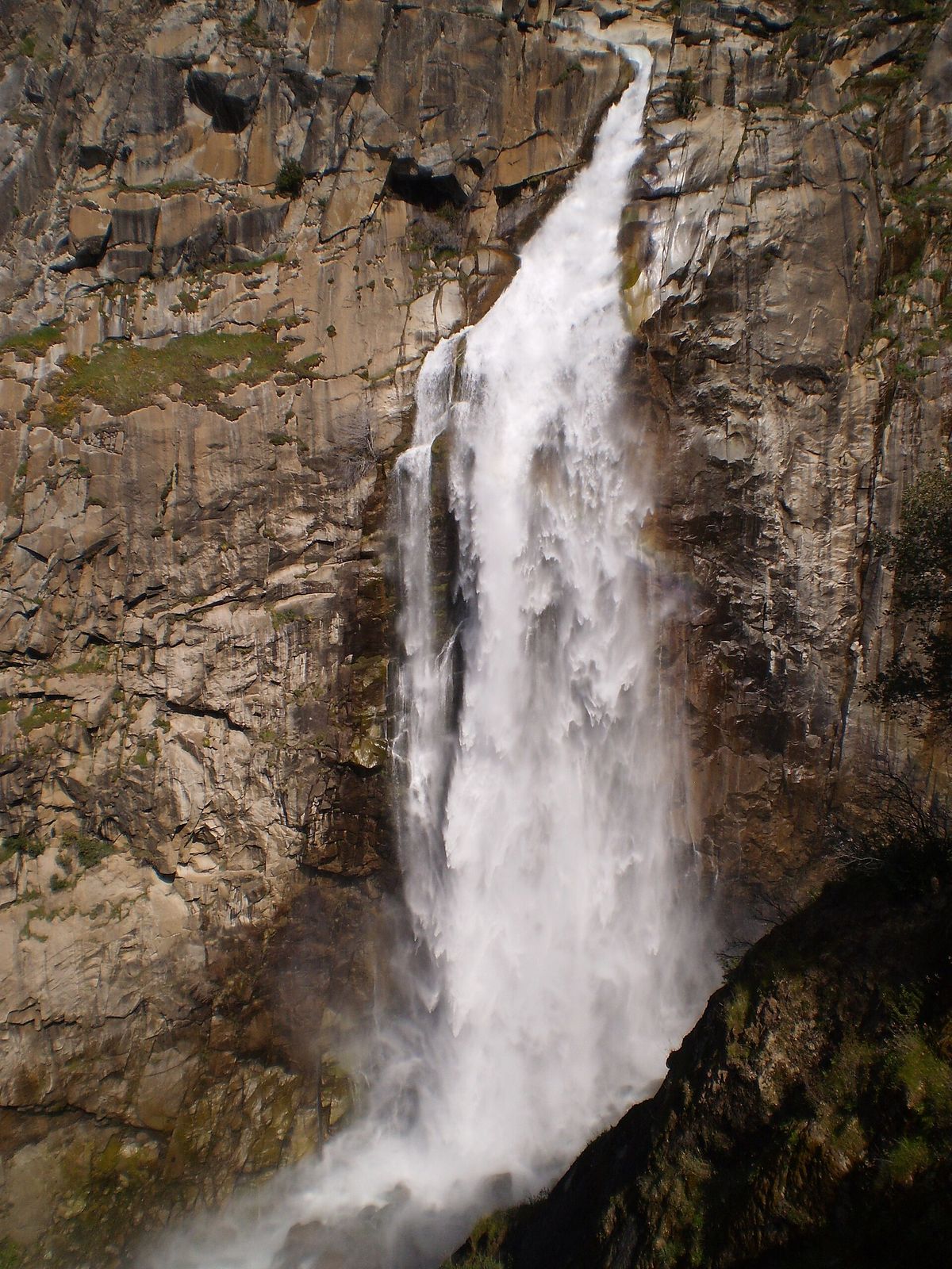
Feather Falls flows March through May. Feather Falls is a 640 ft waterfall on Fall River in Butte County, California. Reaching it is a 9 mi hike round trip.
Closures and warnings
Confirm status with Plumas NF before going. USFS May 2024 release kept the trail closed under orders 05-11-03-24-01 and 05-11-03-23-02 after the 2020 North Complex Fire. OWAC reports reopen in autumn 2025. Post-fire corridor has little shade; rattlesnakes and poison oak are common. As of May 6, 2026.
The falls
| Height | 640 ft |
|---|---|
| Flows | March through May |
| Flow note | USFS calls it the sixth-highest waterfall in the nation, freefalling about 640 ft to the Fall River below the overlook. |
Access
| Hike | 9 mi round trip |
|---|---|
| Road note | Feather Falls Scenic Area is about a 27-mile drive from Oroville to the trailhead on Lumpkin Road / Forest Road 21N35Y. |
| Parking | Feather Falls Scenic Area trailhead off Lumpkin Road / Forest Road 21N35Y, about 27 mi drive from Oroville. |
| Fee | No day-use fee listed on Plumas NF Feather Falls recreation pages; confirm at the trailhead. |
| Hours | Typical National Forest day-use access; confirm current trail status and hours with Plumas NF before visiting. |
| Managed by | USDA Forest Service, Plumas National Forest (Feather River Ranger District) |
| Note | USFS wildflowers page notes a small developed campground at the trailhead (five sites); confirm current status after fire rebuilds. |
|---|
Common questions
Common questions
Is Feather Falls open?
Confirm status with Plumas NF before going. USFS May 2024 release kept the trail closed under orders 05-11-03-24-01 and 05-11-03-23-02 after the 2020 North Complex Fire. OWAC reports reopen in autumn 2025. Post-fire corridor has little shade; rattlesnakes and poison oak are common. As of May 6, 2026. Hours: Typical National Forest day-use access; confirm current trail status and hours with Plumas NF before visiting.
How tall is Feather Falls?
Feather Falls drops about 640 ft.
How long is the hike to Feather Falls?
It's a 9 mi hike round trip. Feather Falls Scenic Area is about a 27-mile drive from Oroville to the trailhead on Lumpkin Road / Forest Road 21N35Y. Parking: Feather Falls Scenic Area trailhead off Lumpkin Road / Forest Road 21N35Y, about 27 mi drive from Oroville.
Is there a fee at Feather Falls?
The fee is No day-use fee listed on Plumas NF Feather Falls recreation pages; confirm at the trailhead.
When is Feather Falls flowing?
It flows March through May. USFS calls it the sixth-highest waterfall in the nation, freefalling about 640 ft to the Fall River below the overlook.
Nearby
Camping nearby
Public land
Feather Falls is inside Plumas National Forest .
Just outside: Lake Oroville State Recreation Area (0.4 mi) .
Sources
5
- https://www.fs.usda.gov/wildflowers/regions/Pacific_Southwest/FeatherFalls/index.shtml (accessed September 30, 2026; backs manager, waterbodyName, waterfall.flowNote, access.hikeDistanceMi, access.hikeDistanceBasis, hazardNote, waterfall.flowMonths, access.fee / access.hours)
- https://www.fs.usda.gov/r05/plumas/projects/54758 (accessed September 30, 2026; backs waterfall.heightFt, access.parking, access.roadNote)
- https://www.fs.usda.gov/about-agency/features/flying-bridge (accessed September 28, 2026; backs waterfall.heightFt)
- https://www.fs.usda.gov/r05/plumas/newsroom/releases/feather-falls-trail-and-recreation-area-remain-closed-due-hazardous (accessed September 28, 2026; backs hazardNote)
- https://owac.org/feather-falls-trail-area-reborn-through-collaboration/ (accessed September 28, 2026; backs hazardNote)
More: California waterfalls