Alamere Falls
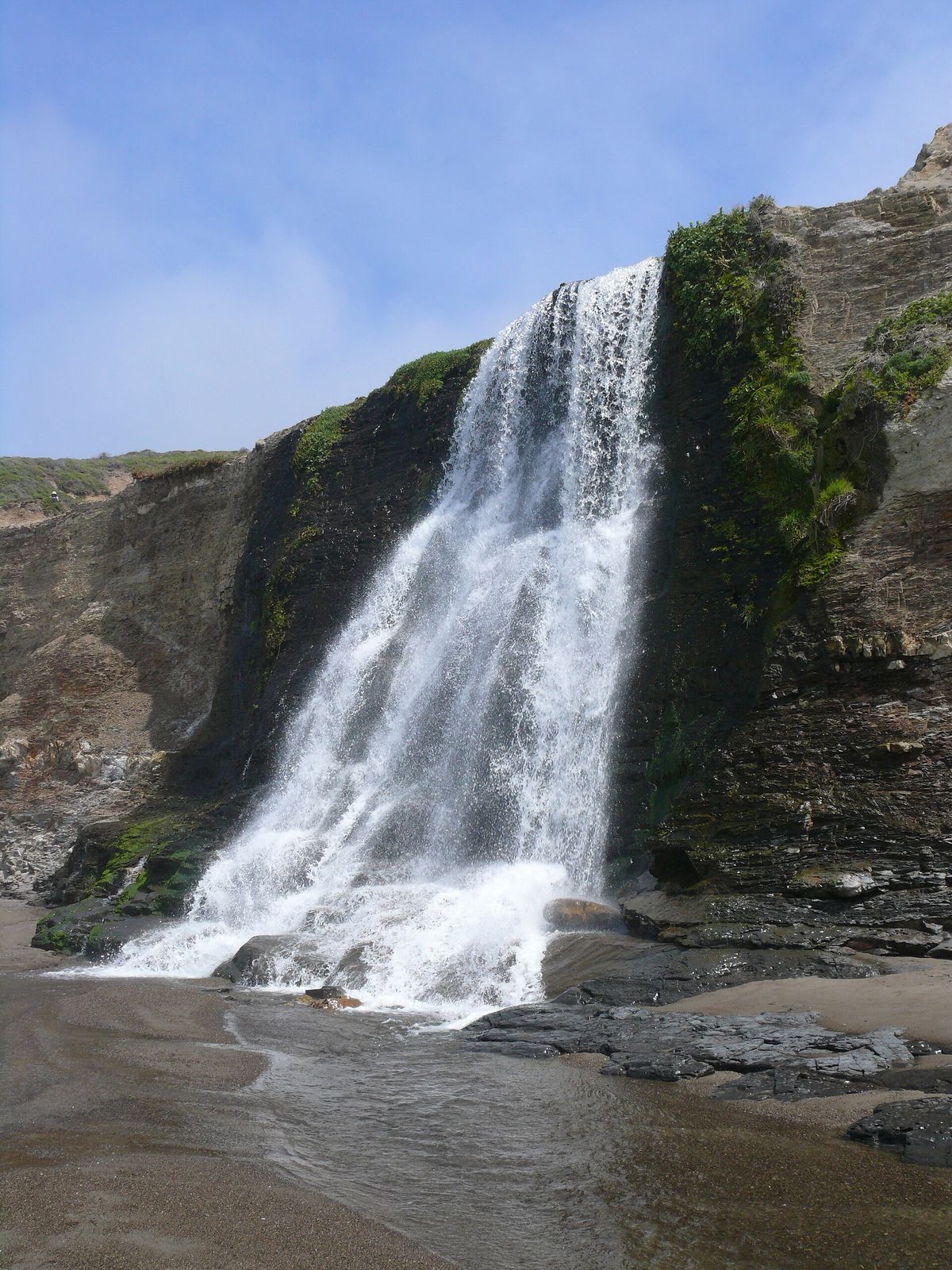
- Height
- 40 ft
- Hike
- 13.2 mi round trip
- Road
- Gravel
- Permit
- Not required
- Dogs
- Not allowed
Alamere Falls drops about 40 ft in Marin County, California. Reaching it is a 13.2 mi hike round trip.
Closures and warnings
No park-sanctioned Alamere Falls shortcut. Unmaintained social routes cause frequent injuries and SAR calls (crumbling cliffs, poison oak). Reach the base only via Wildcat Beach at low tide; do not walk the beach when waves hit the bluffs. As of September 28, 2026.
The falls
| Height | 40 ft |
|---|---|
| Flow note | Tidefall: water cascades over an about 40-foot cliff onto the south end of Wildcat Beach in the Phillip Burton Wilderness. |
Access
| Hike | 13.2 mi round trip |
|---|---|
| Road | Gravel |
| Road note | Last 1.2 mi of Mesa Road to Palomarin is unpaved and often potholed. |
| Parking | Palomarin Trailhead lot at the end of Mesa Road northwest of Bolinas (~75 spaces). Alternate starts: Bear Valley or Five Brooks. |
| When it fills | Palomarin often fills early on weekends year-round and many summer weekdays; park may close the area to further entry for hours when full. |
| Fee | No entrance or day-use parking fee |
| Hours | Day hiking 6 a.m. to midnight |
| Reservation or permit | Not required |
| Managed by | National Park Service (Point Reyes National Seashore) |
| Restrooms | Yes |
|---|---|
| Drinking water | Yes |
| Note | Vault toilet and potable water at Wildcat Campground on the route; no toilets at the falls. Use Palomarin vault toilets before starting. |
Rules
| Dogs | Not allowed |
|---|
Common questions
Common questions
Is Alamere Falls open?
No park-sanctioned Alamere Falls shortcut. Unmaintained social routes cause frequent injuries and SAR calls (crumbling cliffs, poison oak). Reach the base only via Wildcat Beach at low tide; do not walk the beach when waves hit the bluffs. As of September 28, 2026. Hours: Day hiking 6 a.m. to midnight.
How tall is Alamere Falls?
Alamere Falls drops about 40 ft.
How long is the hike to Alamere Falls?
It's a 13.2 mi hike round trip. The road in is gravel. Last 1.2 mi of Mesa Road to Palomarin is unpaved and often potholed. Parking: Palomarin Trailhead lot at the end of Mesa Road northwest of Bolinas (~75 spaces). Alternate starts: Bear Valley or Five Brooks. Palomarin often fills early on weekends year-round and many summer weekdays; park may close the area to further entry for hours when full.
Do you need a reservation for Alamere Falls?
No reservation or permit is required.
Is there a fee at Alamere Falls?
The fee is No entrance or day-use parking fee.
When is Alamere Falls flowing?
Tidefall: water cascades over an about 40-foot cliff onto the south end of Wildcat Beach in the Phillip Burton Wilderness.
What facilities are at Alamere Falls?
Restrooms and drinking water. Vault toilet and potable water at Wildcat Campground on the route; no toilets at the falls. Use Palomarin vault toilets before starting.
Nearby
Camping nearby
Public land
Alamere Falls is inside Phillip Burton Wilderness and Point Reyes National Seashore .
Sources
5
- https://www.nps.gov/thingstodo/hike-to-alamere-falls.htm (accessed September 28, 2026; backs manager, waterfall.heightFt, access.hikeDistanceMi, access.hikeDistanceBasis, access.parking, access.parkingPattern, access.hours, rules.dogs, hazardNote)
- https://www.nps.gov/places/point-reyes-alamere-falls.htm (accessed September 28, 2026; backs waterfall.flowNote)
- https://www.nps.gov/pore/planyourvisit/fees.htm (accessed September 28, 2026; backs access.fee)
- https://www.nps.gov/thingstodo/hike-to-bass-lake.htm (accessed September 28, 2026; backs access.roadNote)
- https://www.nps.gov/places/point-reyes-wildcat-beach.htm (accessed September 28, 2026; backs access.amenities)